


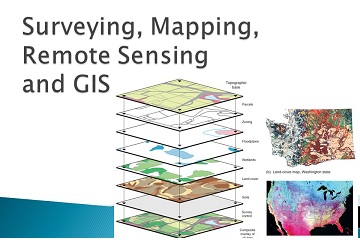
GIS, Remote Sensing and Mapping
AeroEye Solutions’ team provides expert mapping services for clients looking to collect and organise geospatial data. We develop GIS & Mapping solutions tailored to meet our customer’s needs.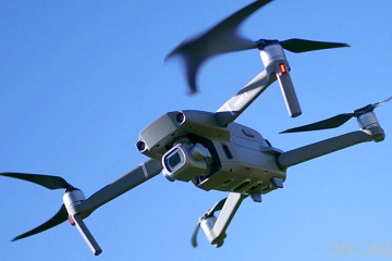
Aerial Solutions
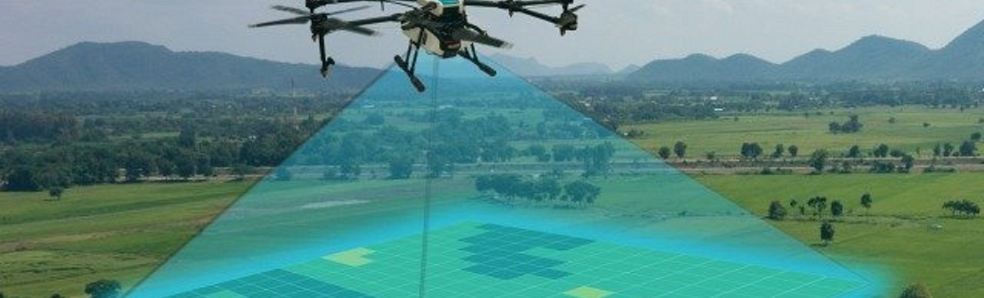
AeroEye Solutions provides aerial surveys for topographic mapping and crop scouting and spraying using multi-rotor and fixed wing drones.
Data Analytics

AeroEye Online
AeroEye Online is a subscription service that provide access to high quality repository of spatial data